
Feasibility Studies & Survey Consultancy
Technical feasibility studies and consultancy services supporting informed decision-making for development projects.

Drone Survey & Remote Sensing
Drone-based surveys and remote sensing solutions delivering high-resolution spatial data and site analysis.
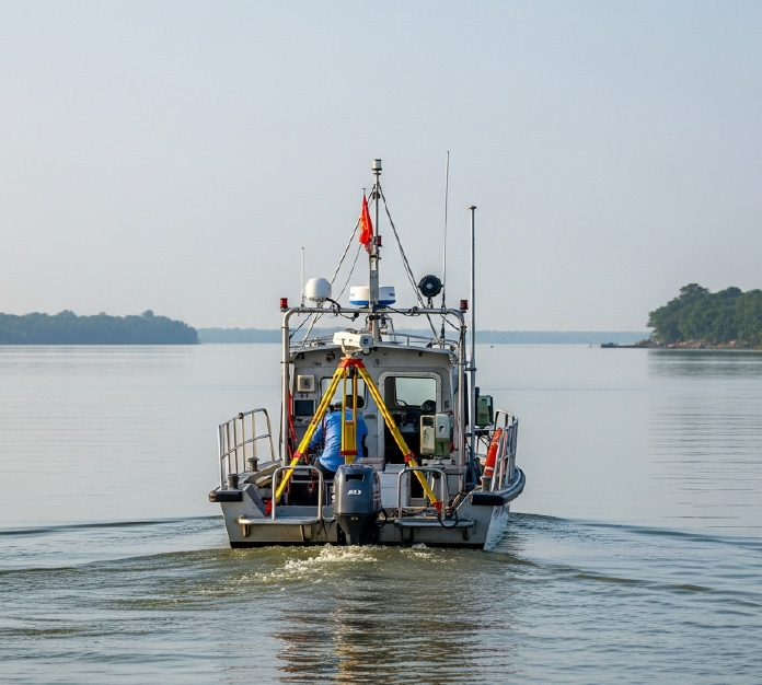
Hydrographical Survey
Hydrographical survey services conducted to measure and analyze water depths, seabed conditions, and underwater features for navigation, dredging, and infrastructure planning.
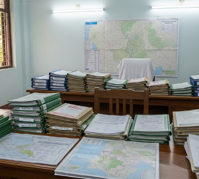
Land Acquisition Support & Documentation
End-to-end land acquisition support including documentation, verification, and coordination with relevant authorities.

Cadastral Survey & Title Verification
Cadastral surveys and title verification services supporting land ownership validation and legal documentation.
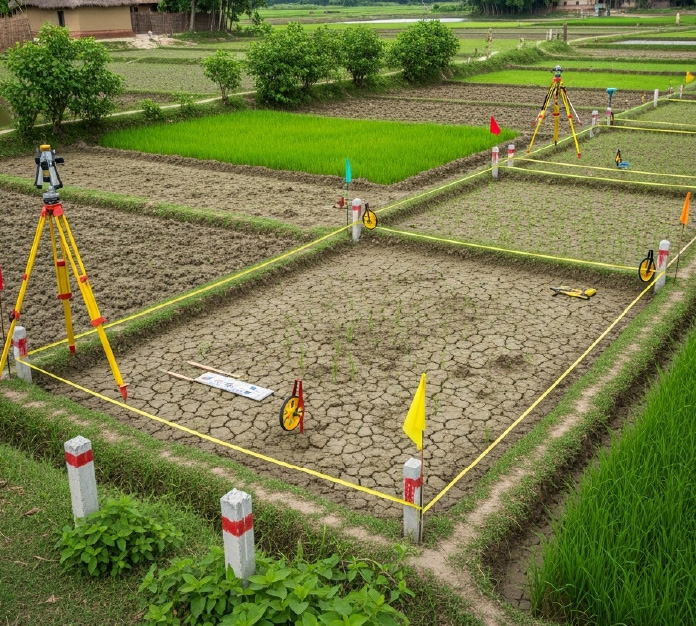
Land Measurement & Boundary Demarcation
Professional land measurement and boundary demarcation services ensuring accuracy, clarity, and legal compliance.
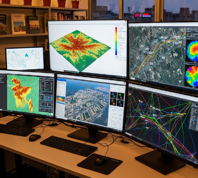
GIS Mapping & Spatial Data Management
GIS-based mapping and spatial data management solutions for precise analysis, planning, and decision-making
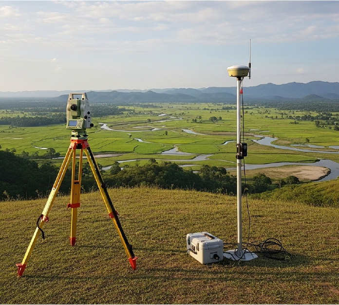
Topographic, Geodetic & Engineering Survey
Accurate topographic, geodetic, and engineering surveys supporting infrastructure planning, design, and development activities.